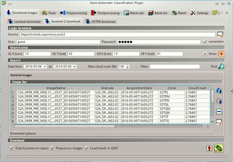
The identification of Sentinel-2 granule zones can be useful for searching Sentinel-2 images using the Semi-Automatic Classification Plugin (SCP).
It is possible to download a shapefile containing the Sentinel-2 zones.
In order to identify the zones, follow these simple steps:
1. Download this zip file (© Copernicus Sentinel data 2016 downloaded from https://scihub.copernicus.eu) containing the shapefile of Sentinel-2 tiling grid adapted from the kml file downloaded from ESA at this link
It is possible to download a shapefile containing the Sentinel-2 zones.
In order to identify the zones, follow these simple steps:
2. Load this shapefile in QGIS
3. Zoom to your study area, loading for instance the OpenStreetMap layer (using the useful plugin QuickMapServices) or any data related to your study area
4. Identify the zones in your study area
In the resulting "Image list" you can order the images by "Zone", selecting only the ones identified with the shapefile for your study area, and then download the images.

For any comment or question, join the Facebook group and the Google+ Community about the Semi-Automatic Classification Plugin.


